The Benefits of Drone Inspections for Wildlife and Land Management


Introduction to Drone Inspections
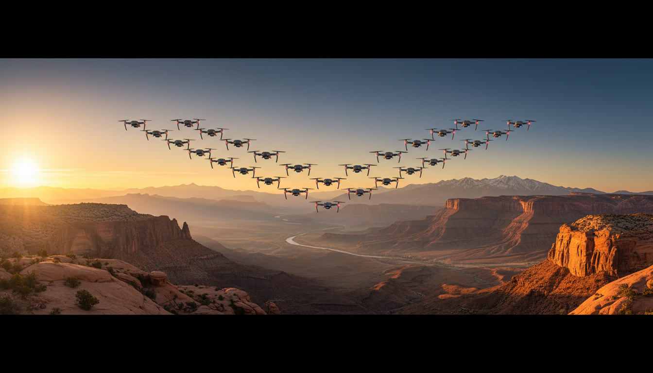
In recent years, the use of drones has revolutionized various industries, and wildlife and land management are no exceptions. These aerial devices offer a unique perspective that can significantly enhance monitoring and management techniques. By providing real-time data and comprehensive views, drones are becoming indispensable tools for conservationists and land managers.
Enhanced Monitoring and Data Collection
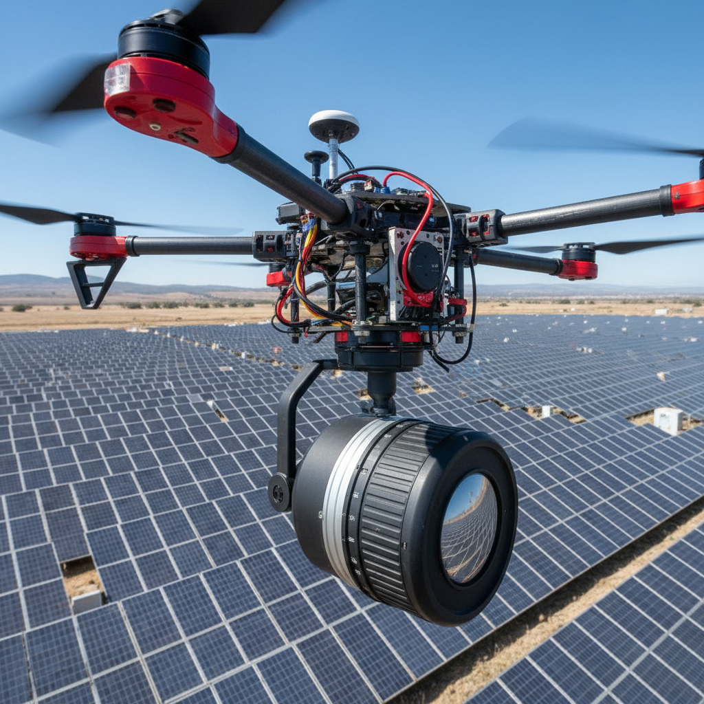
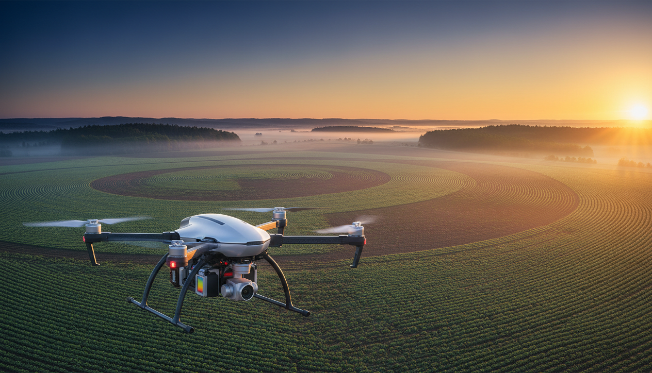
Drones equipped with high-resolution cameras and sensors can capture detailed images and videos of vast landscapes. This enables researchers to observe wildlife behavior and track changes in ecosystems without disturbing the natural habitat. The ability to gather data over large areas in a short amount of time is a substantial advantage over traditional methods.
Moreover, drones can access difficult-to-reach areas, providing insights into regions that were previously inaccessible. This capability is crucial for monitoring endangered species and assessing the health of ecosystems, leading to more informed decisions in conservation efforts.
Real-Time Insights
One of the most significant benefits of using drones is the capacity for real-time monitoring. Land managers can respond quickly to potential issues such as unauthorized land use, poaching, or environmental hazards. This immediate feedback loop is essential for taking proactive measures to protect wildlife and preserve natural resources.
Cost-Effectiveness and Efficiency
Traditional wildlife monitoring methods often require extensive resources, including labor, time, and financial investment. Drones offer a cost-effective alternative by reducing the need for manpower and minimizing the time required for data collection and analysis. This efficiency allows organizations to allocate resources more strategically, focusing on critical conservation initiatives.
Additionally, drones can be programmed to follow specific routes and schedules, ensuring consistent data collection. This automation reduces human error and improves the overall reliability of the data gathered.
Data Analysis and Visualization
The data collected by drones can be integrated with geographic information systems (GIS) to create detailed maps and 3D models. These visualizations help land managers and researchers understand complex patterns and trends, supporting better decision-making processes. Advanced software can also analyze data to predict future changes, allowing for proactive management strategies.
Improving Safety and Reducing Environmental Impact
Using drones reduces the need for human presence in potentially dangerous environments. This not only improves the safety of researchers and land managers but also minimizes the environmental impact of human activity in sensitive areas. Drones can quietly and unobtrusively gather data, reducing stress on wildlife and habitats.
Furthermore, drones run on electricity, which can be a more environmentally friendly option compared to traditional vehicles powered by fossil fuels. This aligns with the broader goals of conservation to reduce carbon footprints and promote sustainable practices.
Conclusion
As technology continues to advance, the role of drones in wildlife and land management will likely expand. Their ability to provide comprehensive, real-time data while being cost-effective and environmentally friendly makes them an invaluable tool for conservation efforts. Embracing drone technology can lead to more effective and sustainable management of our natural world.