How Aerial Precision Imaging Enhances Construction Project Efficiency


Introduction to Aerial Precision Imaging in Construction
In recent years, the construction industry has increasingly embraced technological advancements to improve efficiency and accuracy. One such innovation is aerial precision imaging, which utilizes drones and advanced imaging technology to capture detailed aerial views of construction sites. This technology offers a unique perspective that can significantly enhance project planning, monitoring, and execution.
Aerial precision imaging provides a comprehensive overview of the entire site, enabling project managers to make informed decisions quickly. This ability to view a project from above can help identify potential issues before they become costly problems, ensuring that projects stay on schedule and within budget.
The Role of Drones in Aerial Imaging
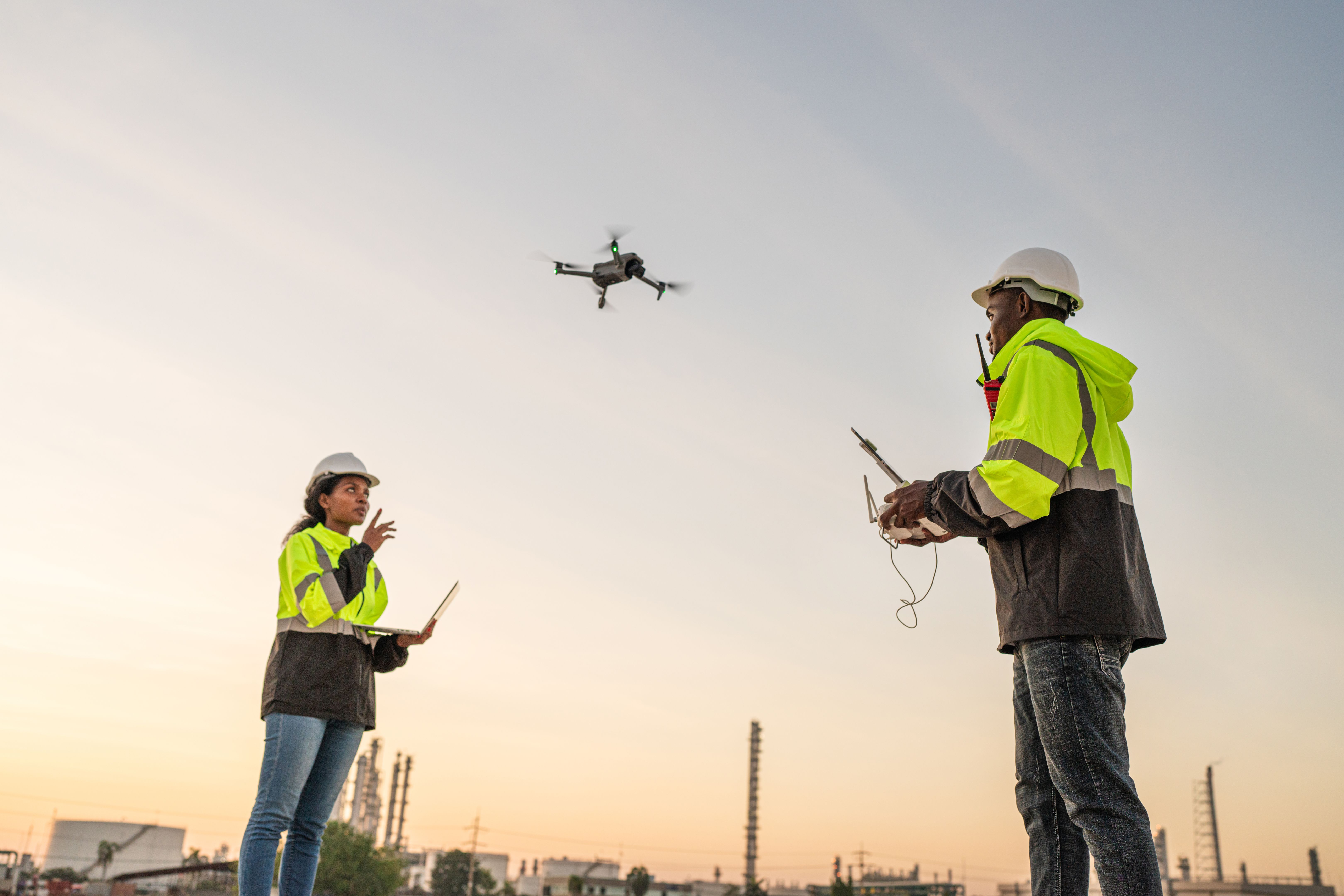
Drones are at the forefront of aerial precision imaging. Equipped with high-resolution cameras and advanced sensors, these unmanned aerial vehicles (UAVs) can capture precise images and data from various angles and elevations. This capability allows construction teams to analyze sites with unprecedented detail.
The use of drones greatly reduces the time and labor associated with traditional surveying methods. By automating the data collection process, drones help cut down on human errors and improve the overall accuracy of site assessments. Additionally, they enhance safety by minimizing the need for personnel to access potentially hazardous areas.
Benefits of Drone Technology
- Rapid data collection and analysis
- Improved safety for workers
- Enhanced accuracy in measurements
- Cost-effective compared to traditional methods
Applications of Aerial Imaging in Construction Projects
Aerial precision imaging is versatile and can be applied across various stages of a construction project. During the planning phase, these images help create accurate topographical maps and 3D models, which are crucial for designing structures and infrastructure. This level of detail ensures that architects and engineers have the most accurate data at their fingertips.
Throughout the construction process, aerial imaging provides regular updates on project progress. It allows stakeholders to track changes in real-time, ensuring that any deviations from the plan are quickly identified and addressed. This proactive approach not only enhances efficiency but also reduces the likelihood of expensive rework.

Improving Communication and Collaboration
Aerial precision imaging also plays a pivotal role in improving communication among project stakeholders. By providing a clear visual representation of the site, it helps bridge the gap between on-site teams and remote decision-makers. This shared understanding facilitates better collaboration and ensures that everyone is aligned with the project's goals.
Moreover, these images can be easily shared with clients, providing them with regular updates on project status. This transparency builds trust and confidence, as clients can see firsthand how their investment is being utilized efficiently.
Conclusion
In conclusion, aerial precision imaging is transforming the way construction projects are managed. By offering high-resolution insights into every aspect of a site, it enhances efficiency, accuracy, and communication throughout the project lifecycle. As technology continues to advance, the role of aerial imaging is set to become even more integral to construction success.
Embracing this technology not only positions companies at the forefront of innovation but also ensures they remain competitive in an increasingly demanding industry. The future of construction is bright with aerial precision imaging paving the way for smarter, safer, and more efficient building practices.