Expert Insights: The Future of Drone Technology in Land Surveys


Revolutionizing Land Surveys with Drones
In recent years, the use of drone technology in land surveying has transformed the industry. These flying marvels provide surveyors with a powerful tool to collect data quickly and accurately. With advancements in technology, drones are poised to become an integral part of land surveys, offering unparalleled precision and efficiency.
Traditional land surveying methods are often time-consuming and labor-intensive. Drones, however, can cover large areas in a fraction of the time, capturing high-resolution images and data from hard-to-reach places. This capability makes them invaluable in diverse applications, from construction site planning to environmental monitoring.
Advancements in Drone Technology
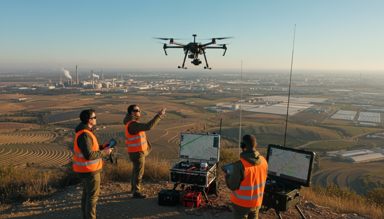
The future of drone technology in land surveys is promising, thanks to continuous advancements. Drones are becoming more sophisticated, equipped with advanced sensors and imaging technology. These improvements allow for more detailed data collection, which is crucial for accurate mapping and analysis.
Moreover, the integration of artificial intelligence (AI) and machine learning (ML) into drone systems is paving the way for autonomous operations. These smart drones can process data in real-time, significantly reducing the time between data collection and analysis.

Regulatory Developments
As drone technology evolves, regulatory frameworks are also adapting. Governments worldwide are recognizing the potential of drones in land surveys and are working to implement policies that ensure safe and efficient operations. This includes defining airspace rules, ensuring privacy, and establishing standards for data security.
These regulatory developments will likely facilitate the broader adoption of drones, making them a staple in land surveying practices globally.
Challenges and Considerations
While the benefits of drones in land surveys are numerous, there are challenges to consider. Weather conditions, for instance, can affect drone operations, impacting data accuracy. Additionally, the initial cost of acquiring and maintaining drone technology can be substantial, though the long-term benefits often outweigh these costs.
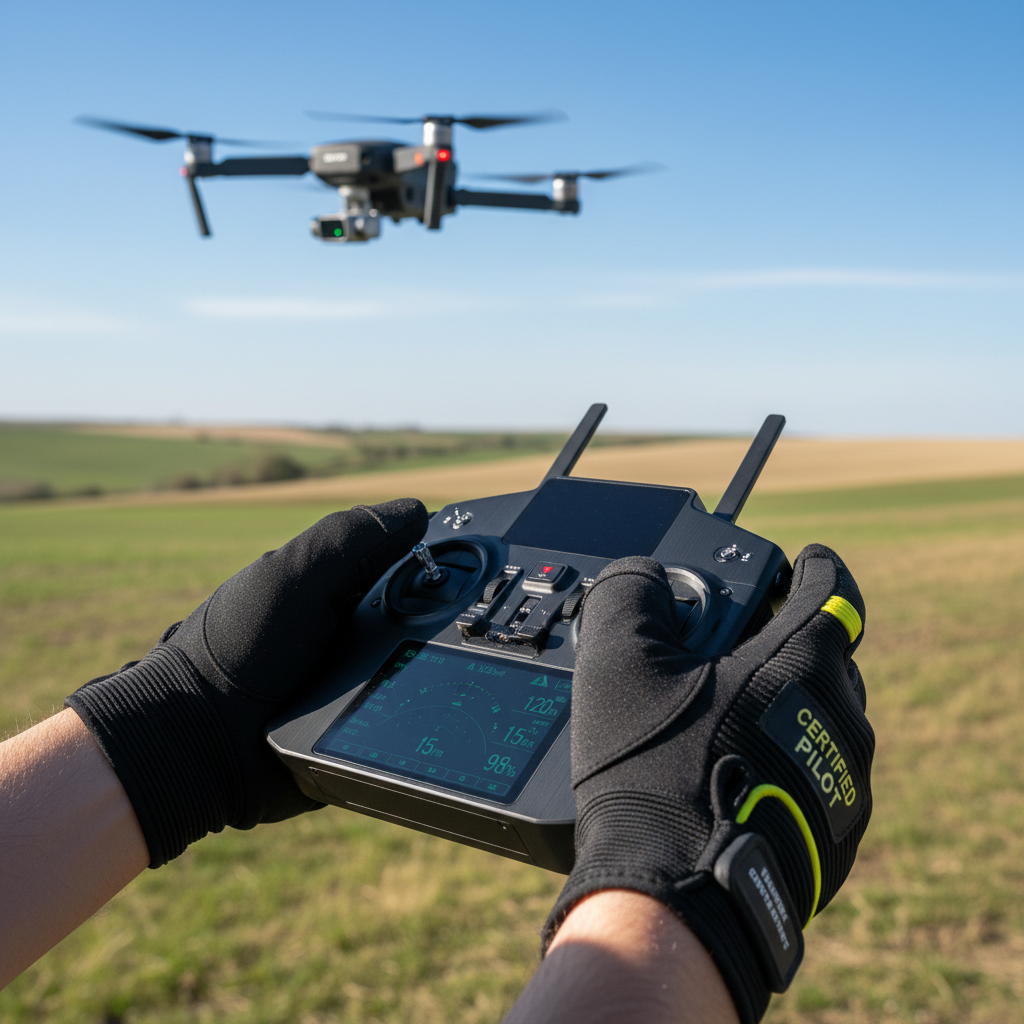
Another consideration is the need for skilled operators. As drones become more advanced, the demand for knowledgeable professionals who can operate and interpret drone data will increase. Investing in training and development is essential for organizations looking to leverage drone technology effectively.
The Future Landscape
Looking ahead, the future of drone technology in land surveys is bright. With continuous technological advancements, drones will offer even greater capabilities, such as enhanced 3D mapping and integration with Geographic Information Systems (GIS). These innovations will further streamline processes and open up new possibilities in land surveying.
As businesses and governments embrace drone technology, we can expect to see a more connected and data-driven approach to land surveys. This shift will not only improve efficiency but also lead to more informed decision-making across various sectors.

In conclusion, drones are set to redefine the landscape of land surveys. With their ability to provide quick, accurate, and comprehensive data, they are an invaluable asset, paving the way for a more efficient and innovative future in the field.