
Local Regulations for Aerial Precision Imaging in Sanger


Understanding Aerial Precision Imaging
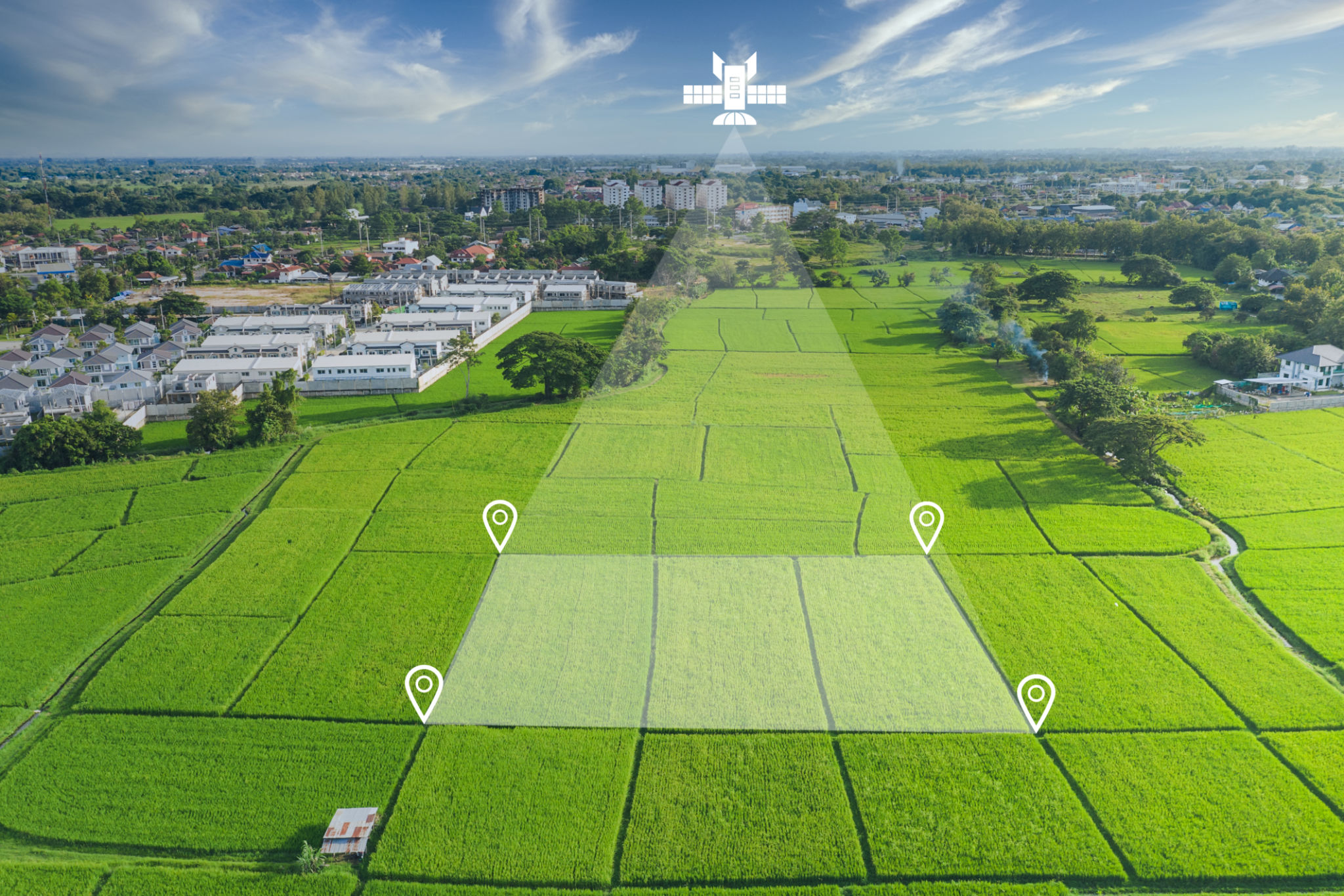
Aerial precision imaging has become an invaluable tool in various industries, ranging from agriculture to real estate. In Sanger, businesses and hobbyists alike are increasingly turning to aerial imaging technologies for their unique perspective and advanced data collection capabilities. However, navigating the local regulations is crucial to ensure compliance and avoid potential legal issues.
Precision imaging involves using drones or other aerial devices to capture high-resolution images for detailed analysis. This technology allows for comprehensive monitoring and mapping of large areas, providing insights that traditional methods cannot match.

Regulatory Framework in Sanger
Sanger has established a set of regulations to govern the use of drones and aerial imaging devices. These rules are designed to protect privacy, ensure public safety, and promote responsible usage of airspace. Understanding these regulations is essential for anyone looking to engage in aerial imaging activities within the area.
The regulatory framework encompasses several key aspects, including registration requirements for drones, restrictions on flight paths, and guidelines for data collection. Compliance with these rules not only helps maintain public safety but also ensures that aerial imaging activities do not infringe on the rights of others.
Drone Registration and Operator Certification
One of the first steps in legally operating a drone for aerial imaging in Sanger is registering the device with the appropriate authorities. The Federal Aviation Administration (FAA) mandates that all drones weighing over 0.55 pounds must be registered. Additionally, operators may need to obtain a Remote Pilot Certificate, which demonstrates their understanding of airspace regulations and safe operating practices.
Flight Restrictions and Airspace Considerations
Operators must be aware of specific flight restrictions that apply within Sanger's airspace. These restrictions often include no-fly zones near airports, military installations, and other sensitive areas. Additionally, operators are generally required to maintain a line of sight with their drone at all times and adhere to altitude limits, typically capped at 400 feet above ground level.
Understanding local airspace classifications is crucial for safe and compliant drone operations. Sanger's proximity to various controlled airspaces necessitates careful planning and coordination with air traffic control when necessary.
Data Privacy and Ethical Considerations
Aerial imaging raises important questions about data privacy and ethical use of captured images. Operators must ensure that their activities do not intrude on private property without consent or capture sensitive information inadvertently. It is advisable to develop a clear understanding of privacy laws and best practices for data protection to avoid legal complications.
Staying Informed and Updated
The regulatory landscape for aerial precision imaging is continually evolving. New technologies and increased drone usage prompt regular updates to existing laws. Operators in Sanger must stay informed about changes in both federal and local regulations to ensure ongoing compliance.
Joining local drone enthusiast groups or industry associations can be a valuable way to keep abreast of regulatory updates, share experiences, and learn from others in the field. These communities often provide resources and support for navigating complex regulatory environments.
Conclusion
Engaging in aerial precision imaging in Sanger offers numerous benefits, but it comes with the responsibility of adhering to local regulations. By understanding the legal framework, respecting privacy concerns, and staying updated on regulatory changes, operators can enjoy the advantages of this powerful technology while contributing to a safe and respectful community environment.